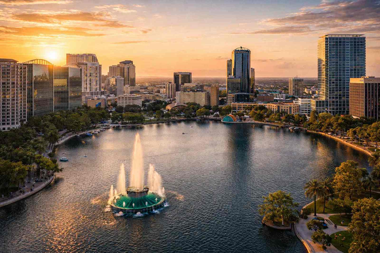
Services Available in Orlando
Drone Mapping & Orthomosaic
Georeferenced site maps, volume calculations, and elevation models for construction projects along the I-4 corridor and throughout the metro area.
Construction Drone Services
Progress documentation and earthwork verification for Orlando's residential developments, commercial builds, and infrastructure projects.
Aerial Photography & Video
Professional aerial media for real estate listings, resort marketing, commercial property branding, and hospitality venues across Central Florida.
Roof & Building Inspection
High-resolution visual inspections for commercial properties, multi-family housing, and HOA communities in Orange and Osceola counties.
Industries We Serve in Orlando
General Contractors & Developers
Site mapping, progress documentation, and volume calculations for the residential and commercial construction boom along the I-4 corridor from Lake Nona to Celebration.
Hospitality & Tourism
Aerial photography and video for resorts, convention centers, and tourism-adjacent commercial properties. Showcase your venue from perspectives that ground photography cannot achieve.
Real Estate Marketing
Listing photography, community overviews, and property highlight videos for agents and developers marketing new construction and luxury resale properties.
Property Management
Routine roof inspections, facility condition documentation, and post-storm assessments for apartment complexes and commercial property portfolios.
Serving Orlando's Growing Construction Market
Orlando's growth trajectory shows no signs of slowing. The I-4 corridor between downtown Orlando and the Walt Disney World area has become one of the most active construction zones in Florida, with master-planned communities, mixed-use developments, and commercial projects breaking ground continuously. For contractors and project managers working across these sites, drone data provides the aerial documentation that keeps stakeholders aligned and projects on schedule.
Central Florida's hospitality industry creates an additional demand for drone services that is unique to the Orlando market. Resort properties, convention hotels, and tourism-adjacent commercial developments need aerial media for marketing, aerial site documentation during construction, and ongoing property inspection services once operational. Our team understands the scale and pace of Orlando's tourism-driven development and delivers the aerial data and media these projects require.
We maintain LAANC authorization capabilities for flights in the controlled airspace around Orlando International Airport (MCO) and Orlando Executive Airport, ensuring that projects near the airport corridor receive the same level of professional service as those in less restricted zones. Golf courses in the greater Orlando area — from the resort courses near International Drive to private clubs in Windermere and Lake Nona — also benefit from our NDVI turf health monitoring program.