What Is Drone Orthomosaic Mapping?
Drone orthomosaic mapping is the process of capturing hundreds of overlapping aerial photographs of a site and processing them through photogrammetry software to produce a single, geometrically corrected, georeferenced map. Unlike a standard aerial photograph, an orthomosaic has been corrected for perspective distortion, lens distortion, and terrain elevation — meaning every pixel sits in its true geographic position. You can measure distances, calculate areas, and overlay the map onto GIS or CAD software with confidence that the data is spatially accurate.
Our drone mapping workflow uses the DJI Mavic 3 Enterprise platform flying programmed grid patterns at calibrated altitudes. The captured images are processed through WebODM, an open-source photogrammetry engine that generates orthomosaics, digital elevation models, and point clouds without relying on proprietary cloud processing. This gives us full control over quality settings, output formats, and processing timelines — and keeps your site data private.
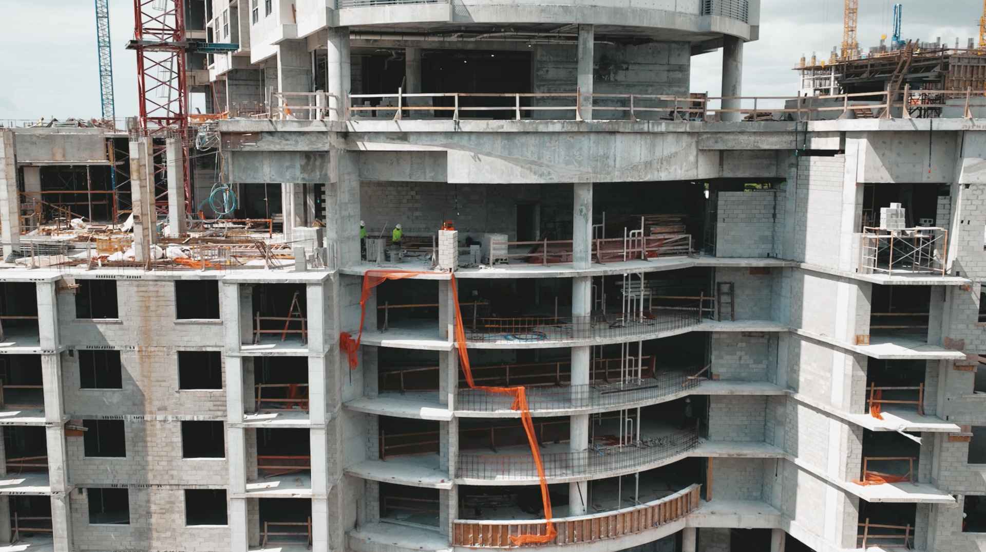
For construction sites, land development projects, and environmental monitoring applications across Florida, drone mapping replaces what would otherwise require ground crews with total stations or expensive manned aircraft flights. The result is faster data collection, lower cost per acre, and a visual record that is immediately understandable to everyone on the project team.
Our Mapping Deliverables
- Georeferenced GeoTIFF orthomosaic — a measurable, true-to-scale aerial map compatible with GIS and CAD software
- Volume calculation report with cut/fill analysis, stockpile measurements, and annotated reference surfaces
- Annotated 2.5D site model showing terrain relief and surface features
- Elevation contour overlays in DXF or SHP format for integration with engineering workflows
Volume Calculations & Cut/Fill Analysis
Volume calculations are one of the most commercially valuable applications of drone mapping for construction sites in Florida. By comparing a digital elevation model captured by drone to a reference surface — either a design grade or a previous flight's elevation model — we calculate the precise volume of material that has been cut or filled across a site.
Stockpile measurement follows the same principle: the drone captures the stockpile from all angles, generates a 3D surface model, and calculates the volume above the base plane. This replaces manual tape-and-clinometer estimates and produces repeatable, documented measurements that hold up in material reconciliation disputes between contractors, suppliers, and project owners.
All volume reports include annotated diagrams showing measurement boundaries, cut/fill zones color-coded by depth, and summary tables with cubic yard totals. Reports are delivered as PDF documents and as raw data files for import into project management platforms.
Industries We Serve
Construction
Site progress tracking, grading verification, and as-built documentation for general contractors and project managers.
Land Development
Pre-development basemaps, grading plans, and site analysis for developers and civil engineers.
Environmental Monitoring
Wetland boundary documentation, vegetation change tracking, and stormwater management site mapping.
Agriculture
Field mapping, drainage analysis, and crop health basemaps for farms and land managers across Florida.